
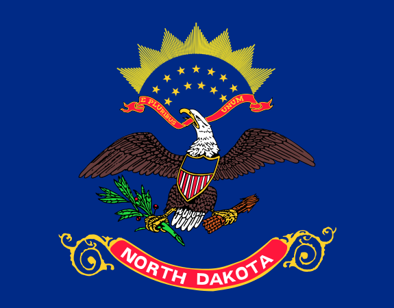
North Dakota is a U.S. state in the upper Midwest, defined by broad prairie, a harsh continental climate, and a long border with Canada. It joined the Union in 1889 and remains one of the least densely populated states, with most settlements separated by long stretches of farmland, grassland, and open sky.
| Fact | Detail |
|---|---|
| Country | United States |
| Region | Upper Midwest / Northern Plains |
| Capital | Bismarck |
| Largest city | Fargo |
| Admission to the Union | 1889 |
| Border | Canada to the north; Minnesota, South Dakota, and Montana to the east, south, and west |
What North Dakota is known for
North Dakota is known for agricultural land, oil extraction, and a landscape shaped by glaciers, weather, and distance. Wheat, soybeans, sunflowers, cattle, and sugar beets are central to its economy, while the Bakken formation turned the western part of the state into a major oil-producing region in the 21st century. The state’s built environment often reflects these conditions: grain elevators, water towers, low-slung civic buildings, and homes designed to endure wind and snow.
Its visual identity comes as much from emptiness as from architecture. Flat horizons, severe winter light, and wide roads create images that feel sparse and exposed. That atmosphere has made the state useful to photographers, filmmakers, and designers looking for open space, weather drama, and forms that stand out against an almost uninterrupted background.
How the landscape shapes design and daily life
North Dakota’s climate is one of the coldest in the contiguous United States, with long winters, strong winds, and large temperature swings. Those conditions affect everything from house construction to road design. Buildings need deep insulation, steep roofs, durable cladding, and layouts that reduce heat loss and snow buildup. Materials such as wood, metal siding, and concrete often appear in practical, weather-tough combinations rather than decorative ones.
The landscape also influences how communities are arranged. Small towns sit far apart, and service buildings often function as landmarks because there are few others. In this context, the design of a grain elevator, school, church, or co-op building matters more than it might in a denser place. These structures are not only useful; they help give shape and identity to the towns around them.
Why artists and architects keep returning to it
North Dakota has become a reference point for work that depends on atmosphere, isolation, and scale. Photographers use its empty roads, storm fronts, and abandoned farmsteads to create images that feel suspended in time. Architects and exhibition designers often look to the state’s plains and weather patterns when thinking about how to frame a building against a vast setting rather than a crowded streetscape.
The state’s recent cultural visibility also comes from specific projects. Snøhetta’s Theodore Roosevelt Presidential Library, planned for Medora, is notable because it tries to sit lightly in the Badlands while using landscape-based forms, green strategies, and local material cues. That kind of project shows how North Dakota can push design toward restraint, environmental response, and a close reading of place.
What does North Dakota look like in practice?
In visual culture, North Dakota often appears as a place of straight roads, low buildings, hard weather, and enormous sky. Grain bins, oil infrastructure, and farm compounds punctuate the land at long intervals. In winter, snow can flatten the scene into near abstraction; in summer, fields and prairie grasses create broad bands of color with very little vertical interruption.
That appearance is not just scenic. It is the result of land use, climate, and settlement patterns working together. The state’s look comes from working landscapes rather than curated ones, which is why it matters to designers, photographers, and architects interested in how form emerges from utility.
Frequently Asked Questions
Is North Dakota part of the Midwest or the Great Plains?
It belongs to both categories in common usage. Politically and culturally it is usually grouped with the Midwest, while geographically it sits squarely in the Northern Plains. The distinction matters because the state’s land use, weather, and settlement patterns are shaped more by prairie conditions than by an urban Midwest image.
Why does North Dakota appear so often in photography?
Its open land, severe weather, and sparse development create strong visual contrasts. Storms, abandoned buildings, and isolated structures read clearly against the flat terrain and wide sky. Photographers often use the state to emphasize scale, emptiness, and the marks left by agriculture or extraction.
What kind of architecture is common in North Dakota?
Practical, climate-resistant architecture is common: insulated houses, barns, grain elevators, industrial sheds, and civic buildings that prioritize durability. Materials often include wood framing, steel, metal siding, brick, and concrete. In larger recent projects, architects have also begun to use landscape-sensitive forms and environmental systems to respond more directly to the state’s setting.
}