
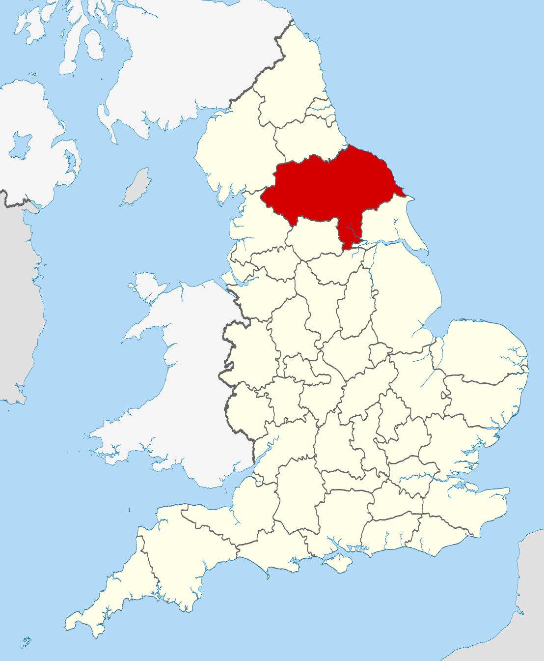
North Yorkshire is a county in northern England and the largest ceremonial county in the country. It combines a wide rural landmass with historic towns, market settlements, coast, moorland, and major transport corridors. As a local government county, it was created in 1974 under the Local Government Act 1972, though its name draws on the older identity of Yorkshire.
| Fact | Detail |
|---|---|
| Type | County |
| Country | England |
| Region | Yorkshire and the Humber, with some ceremonial territory in North East England |
| Created | 1974, under the Local Government Act 1972 |
| Area | 8,654 square kilometres |
| Status | Non-metropolitan and ceremonial county |
How North Yorkshire was formed
North Yorkshire as an administrative county did not exist in its current form before the 1970s. The reorganisation of local government in 1974 replaced older county arrangements with a new structure, drawing together large rural districts, dales, moorland, and parts of the historic North Riding of Yorkshire. That history still shapes how the county is understood: the modern boundary is administrative, but the cultural identity is older and more layered.
The county sits partly in Yorkshire and the Humber and, in ceremonial terms, stretches into the North East. That matters because ceremonial counties in England are used for representation and identity as much as for administration. North Yorkshire therefore works both as a practical governing area and as a name for a broader historic landscape.
What does North Yorkshire look like?
North Yorkshire is defined by scale and variety. The Yorkshire Dales and North York Moors form its most recognisable landscapes, with limestone uplands, heather moor, steep valleys, and stone-built villages. Along the coast, towns such as Scarborough and Whitby bring cliffs, harbours, and seaside architecture into a county often associated with inland pasture and field walls.
Its built environment reflects this spread of uses and topography. Smaller settlements often use local stone, pantile roofs, and vernacular farm forms adapted to cold weather and exposed land. Larger towns such as Harrogate, Ripon, and Northallerton show a different register: civic buildings, spa-era streets, market squares, and transport-linked growth.
Why does the county matter?
North Yorkshire matters because it contains a concentration of landscapes, settlements, and heritage that have influenced how northern England is imagined. Its national parks and historic towns support tourism, conservation, farming, and craft traditions, while its roads and rail links connect remote uplands to the rest of the country. The county is not just a map unit; it is a working geography where land use and identity remain closely tied.
For visual culture, North Yorkshire offers a strong example of how place shapes material life. Dry stone walls, parish churches, mill buildings, fishing harbours, spa towns, and agricultural sheds all emerge from local conditions and available materials. The county’s architecture is not one style but a record of practical decisions made across different terrains and economies.
What counts as North Yorkshire in practice?
In everyday use, North Yorkshire can mean the local authority area, the ceremonial county, or the older cultural region associated with the North Riding. That ambiguity is common in English counties, where administrative boundaries and historic identities rarely match neatly. Official records, postal addresses, tourism branding, and local speech may all use the same name to mean slightly different things.
For makers, publishers, and historians, the distinction matters. A building, textile, map, or archive labelled “North Yorkshire” may refer to the modern county government area or to a broader Yorkshire setting. Reading the term well means checking whether it describes administration, landscape, or heritage.
Frequently Asked Questions
Is North Yorkshire a historic county?
North Yorkshire is not a historic county in the strictest sense. It is a modern administrative county created in 1974, although it includes territory and identities rooted in the historic North Riding of Yorkshire. In practice, the name carries both modern and older associations.
What are the main landscape types in North Yorkshire?
The county contains upland moors, limestone dales, coastal cliffs, market-town plains, and river valleys. The North York Moors and Yorkshire Dales are the best-known landscape forms, but the county also includes farmland, urban edges, and seaside settlements. That variety gives the county a distinctive material and visual range.
Why is North Yorkshire important for design and heritage?
North Yorkshire preserves many forms of regional building and craft, from dry stone walls to stone cottages and Victorian spa architecture. Its towns and villages show how local materials and topography shape design choices. The county also plays a major role in tourism, conservation, and the presentation of English rural identity.
At a glance
- Coordinates
- 54.166668, -1.333333