
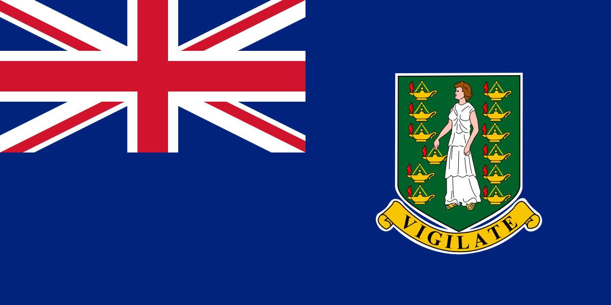
The British Virgin Islands are a British overseas territory in the Caribbean, east of Puerto Rico, made up of more than 50 islands and cays in the Virgin Islands archipelago. They are commonly abbreviated as the B.V.I. and share the archipelago with the U.S. Virgin Islands and the Spanish Virgin Islands.
| Type | British overseas territory |
|---|---|
| Region | Caribbean, east of Puerto Rico |
| Capital | Road Town, Tortola |
| Largest island | Tortola |
| Official status | Self-governing territory under the British Crown |
What are the British Virgin Islands?
The British Virgin Islands are a small island territory with their own local government, but they remain under British sovereignty. Their geography is fragmented: inhabited islands, uninhabited cays, and surrounding reefs shape daily life, transport, and trade. Tortola, Virgin Gorda, Anegada, and Jost Van Dyke are the best-known islands.
Because the islands are spread out over water, boats matter as much as roads. Ferries, marinas, and sheltered harbours connect the archipelago, and many public and private projects have to account for tides, coral, salt air, and hurricanes. That physical reality affects everything from building materials to tourism infrastructure.
Why do the B.V.I. matter in visual culture?
The British Virgin Islands matter in visual culture because island settings make landscape, weather, and the sea part of the subject. Architecture often has to be low-rise, wind-resilient, and adapted to bright light and corrosive salt. Public art and design in the B.V.I. also often respond to marine life, coastal protection, and tourism, since the economy depends heavily on the ocean environment.
That is why large sculptural projects, nautical branding, and reef-related installations can become especially visible there. A work placed in the water or near the shore does more than decorate a site; it can alter how people move through it, attract divers and visitors, and even function as habitat for marine organisms. In the B.V.I., practical use and spectacle often overlap.
How are the islands shaped and used?
The territory’s many islands differ in scale and use. Tortola is the administrative and commercial centre, Virgin Gorda is known for resort development and dramatic rock formations, Anegada is low-lying and more remote, and smaller islands often host private estates, marinas, or conservation areas. The result is a place where development, ecology, and leisure sit close together.
Marine conditions also shape what can be built. Concrete, steel, stone, and treated timber all face intense wear from humidity and storms, so designers and builders in the B.V.I. have to think about durability as well as appearance. Coastal projects often use forms that can withstand flooding or that are meant to work with the sea rather than against it.
Frequently Asked Questions
Are the British Virgin Islands the same as the U.S. Virgin Islands?
No. The British Virgin Islands are a British overseas territory, while the U.S. Virgin Islands are a territory of the United States. They are neighbouring parts of the same archipelago, so they share history, ecology, and geography, but they have different governments and legal systems.
What does B.V.I. stand for?
B.V.I. is the common abbreviation for the British Virgin Islands. It appears in travel writing, business, shipping, and legal contexts because the territory is often referenced in shortened form. The abbreviation is widely understood within Caribbean and international commerce.
Why are the British Virgin Islands often mentioned in art and design projects?
The islands provide a strong setting for projects that depend on the sea, sunlight, and tourism. Designers and artists often work with marine themes, weather-resistant materials, or site-specific installations that respond to coral reefs and coastal landscapes. The islands’ compact geography makes those projects easy to encounter and hard to ignore.