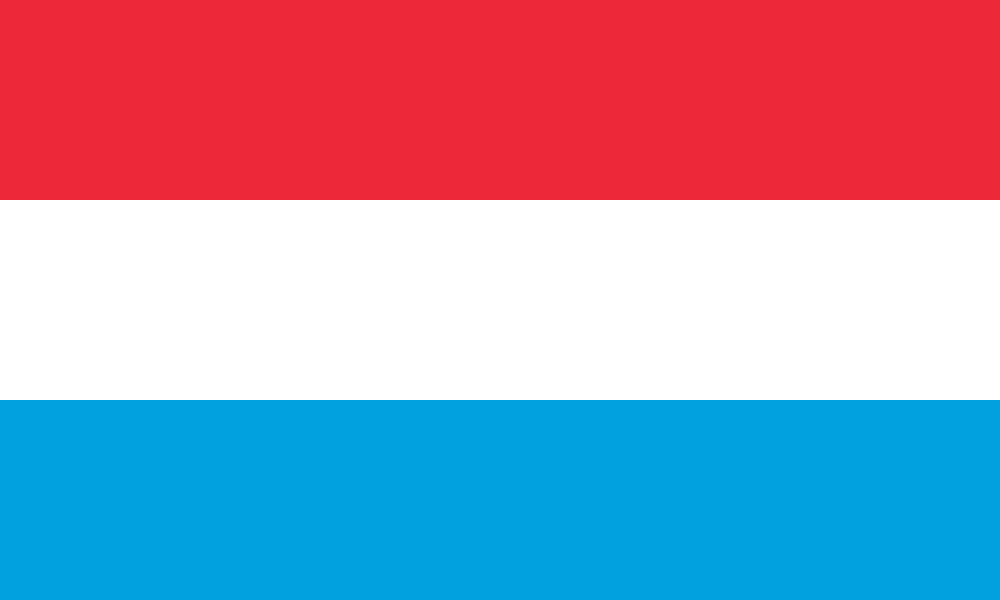
Luxembourg is a small landlocked country in western Europe, officially the Grand Duchy of Luxembourg, bordered by Belgium, France, and Germany. Its landscape divides into the wooded Ardennes uplands in the north and the more fertile Gutland in the south, and that split still shapes settlement, agriculture, and building practice. For a place of its size, Luxembourg has an unusually dense visual culture, from industrial infrastructure and civic architecture to the photographic and fashion work made there.
- Capital: Luxembourg City
- Status: constitutional monarchy and grand duchy
- Neighbouring countries: Belgium, France, Germany
- Main regions: Oesling in the north, Gutland in the south
- Landscape range: forested highlands, river valleys, and urban plateaus
Where is Luxembourg and what makes it distinct?
Luxembourg sits at the meeting point of Germanic and Romance Europe. It is one of the continent’s smallest sovereign states, but its location has made it strategically important for centuries. The country’s borders are short enough to cross in a day, yet its terrain changes quickly: northern ridges and valleys give way to a lower, more productive southern landscape where most people live and where the capital and major institutions are concentrated.
The country’s official bilingual and multilingual life is part of its identity, but the built environment also expresses that layered history. Towns combine medieval remnants, 19th-century fortification landscapes, modern administrative buildings, and the infrastructure of a contemporary financial centre. That mixture matters for visual culture because it gives photographers, designers, and artists a setting where old stonework, steel, glass, and road systems sit close together.
Why does Luxembourg matter in visual culture?
Luxembourg matters less as a single “style” than as a site where different kinds of making meet. Its economy has long depended on cross-border movement, administration, and services, and that has produced buildings and public works that are practical, highly legible, and often engineered with care. Water towers, bridges, rail lines, and civic structures are common subjects because they reveal how a small state organizes visibility, utility, and authority.
The country also supports a professional design and image culture that often works across borders. Fashion photography made in Luxembourg, for example, can draw on the country’s compact geography: wooded slopes, urban edges, industrial sites, and polished interiors are all close at hand. That variety lets photographers build contrasts between landscape and surface, heritage and modernity, without leaving the country.
What does Luxembourg look like in practice?
In practice, Luxembourg is a place of careful transitions. Rural roads lead quickly into dense towns; river valleys cut under fortifications and viaducts; new offices rise near older masonry. Materials matter here: local stone, concrete, steel, and glass are used in ways that emphasise durability and clarity rather than spectacle. In the north, the rougher terrain of the Oesling encourages smaller settlements and more exposed infrastructure. In the south, the Gutland supports larger urban and industrial fabrics.
That physical mix helps explain why the country appears in articles about architecture, infrastructure, and image-making. It offers a setting where a utilitarian structure like a water tower can become a visual landmark, and where fashion photography can use the country’s ordered streets, severe winter light, or forested margins as backdrops. Luxembourg’s scale makes these contrasts easy to read, which is part of its appeal to makers working with composition and atmosphere.
How did Luxembourg become what it is today?
Luxembourg’s present form grew out of a long frontier history. Fortified sites, changing rulers, and shifting alliances left a dense architectural record, especially around the capital. Over time, military importance gave way to administrative and economic centrality, and the country developed into a stable constitutional monarchy with strong institutions and a highly networked economy.
That history is visible in the built landscape. Fortified earthworks, bridges, railway engineering, and modern public works all sit in the same national frame. Rather than presenting a single dominant visual language, Luxembourg shows how a small country accumulates forms over time and makes them work together.
Frequently Asked Questions
Is Luxembourg a city or a country?
Luxembourg is a country. Its capital is Luxembourg City, which is the largest urban centre and the seat of government. The name often causes confusion because the capital and the state share the same name.
What are the main regions of Luxembourg?
Luxembourg is usually divided into the Oesling in the north and the Gutland in the south. The Oesling belongs to the Ardennes massif and is hillier, wilder, and less densely populated. The Gutland is lower, more settled, and contains much of the country’s urban and agricultural life.
Why does Luxembourg appear in design and photography contexts?
Luxembourg offers a compact but varied setting: infrastructure, historic fabric, countryside, and contemporary development are all close together. That makes it useful for photographers and designers who want strong contrasts in scale, surface, and mood. Its orderly public works and layered built history also give it a distinct visual character.
At a glance
- Address
- Luxembourg
- Coordinates
- 49.6, 6.116667
Articles mentioning Luxembourg