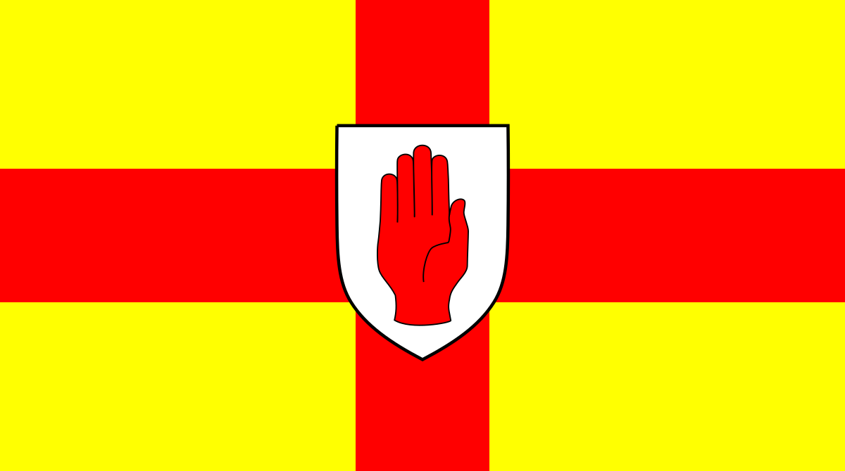
Ulster is the northern province of Ireland, a historic territorial division whose boundaries have shifted between ancient, medieval, and modern times. Its name survives both as a cultural region and as a political unit, though the province as understood today was fixed only after the island’s counties were shired under English rule in the early seventeenth century.
| Fact | Detail |
|---|---|
| Type | Province |
| Location | North of the island of Ireland |
| Historical form | One of the five ancient provinces of Ireland |
| Early rulers | Ruled under a rí ruirech, or “king of over-kings” |
| Modern shape | Defined more firmly during the reign of James I when Irish counties were shired |
What is Ulster?
Ulster began as one of the old provincial divisions of Ireland, part of a system in which the island was understood through larger territorial groupings rather than fixed modern administrative borders. In early Irish political life, provinces could be fluid, with authority changing hands and borders expanding or contracting according to dynastic power, tribute, and warfare.
That fluidity matters because Ulster has never been just a line on a map. It has also functioned as a cultural idea, tied to language, kinship, memory, and local identity. For many readers, the name carries both a geographic meaning and a set of historical associations that reach far beyond the province’s current administrative outline.
How did Ulster take its present shape?
In ancient Ireland, Ulster belonged to a five-part political order, often described as the five provinces. The province was governed within a hierarchy that included a rí ruirech, a high-ranking king or “king of over-kings,” which suggests a layered system of authority rather than a single centralized state. That older order did not preserve fixed borders in the modern sense.
The province acquired a more definite form under King James I of England, when the counties of Ireland were eventually shired. Shiring imposed a more regular administrative geography on the island, and Ulster came to be understood through those county boundaries. The modern province therefore reflects a colonial-era mapping of older territorial names onto a new legal and governmental structure.
Why does Ulster matter in Irish visual culture?
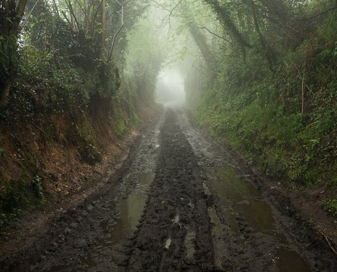
Ulster matters because place names shape how landscape is seen and represented. In photography, print, painting, and film, the province often stands for weather, geology, memory, and political history at once. The name can evoke rough coastlines, fields divided by walls and hedges, towns shaped by plantation-era settlement, and a long tradition of settlement, migration, and conflict.
For artists and image-makers, that layered meaning gives Ulster a strong visual charge. A landscape photograph made in Ulster may register as more than a view of land: it can also suggest inherited land use, contested identity, or the way borders sit inside ordinary scenery. The province’s visual power comes from this overlap between physical terrain and historical structure.
Ulster as a place and a concept
Today, Ulster can mean different things depending on context. It may refer to the historical province of nine counties, or to the six counties that form Northern Ireland, which is only part of the older province. That distinction matters in writing, mapping, and exhibition captions, because the word can signal either a broad cultural region or a more specific political geography.
Artists, editors, and historians use the term carefully because it carries competing claims of belonging. In practice, Ulster appears in titles, map labels, archive descriptions, and landscape work as a shorthand for a region with deep continuity and disputed boundaries. That tension is part of its meaning.
Frequently Asked Questions
Is Ulster the same thing as Northern Ireland?
No. Northern Ireland occupies six of Ulster’s nine counties, but Ulster as a historical province includes three counties that are now in the Republic of Ireland. The terms overlap, but they are not identical, and using one for the other can create confusion.
Why is Ulster called a province?
The word refers to one of Ireland’s old territorial divisions, established long before modern county administration. In early Ireland, provinces were major political and cultural regions, not just geographical areas. Ulster’s status as a province comes from that older system.
Why does the definition of Ulster vary in historical sources?
Because its borders were not always fixed. Early and medieval Ireland had shifting power structures, so the area associated with Ulster could expand, contract, or be described differently depending on the source. Later administrative reforms gave it a more stable outline, but older references can still reflect a looser regional idea.
At a glance
- Address
- Ireland, United Kingdom
- Coordinates
- 54.4, -7
Articles mentioning Ulster