
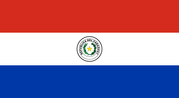
Paraguay is a landlocked country in central South America, bordered by Argentina, Brazil, and Bolivia, and crossed by the Paraguay River. Its position at the continent’s centre has made it a transit zone, a strategic borderland, and a place where different languages, trade routes, and political interests meet.
- It has no coastline and depends on river systems and land borders for access to trade.
- The Paraguay River divides the country into western and eastern regions with very different landscapes.
- Guaraní and Spanish both remain central to national life and public culture.
- Its history includes indigenous sovereignty, colonial rule, war, dictatorship, and long periods of political recovery.
- Border towns and crossings shape daily life as much as the capital does.
Where is Paraguay and what does it look like?
Paraguay sits between some of South America’s largest states. Argentina lies to the south and southwest, Brazil to the east and northeast, and Bolivia to the northwest. The country is split by the Paraguay River, which runs north to south through the middle and creates two broad zones: the eastern region, more densely populated and humid, and the western Chaco, a flatter and drier expanse of scrub, ranch land, and seasonal wetlands.
Because Paraguay has no sea access, rivers and border crossings matter enormously. Ports on inland waterways, bridge connections, and customs points shape movement more than harbours do in coastal countries. That geography helps explain why Paraguay appears in discussions of borders, transit, and the visual markers of national edge conditions: fences, checkpoints, bridges, road signs, and river traffic.
Why does Paraguay matter in South American history?
Paraguay’s history is marked by strong indigenous continuity, especially through Guaraní language and culture, and by intense colonial and postcolonial conflict. The country emerged from Spanish rule in the early nineteenth century and later suffered catastrophic losses in the War of the Triple Alliance, fought against Argentina, Brazil, and Uruguay in the 1860s and 1870s. That war reshaped its population, economy, and political development for generations.
In the twentieth century, Paraguay was ruled for decades by Alfredo Stroessner’s dictatorship, which lasted from 1954 to 1989. Since then, the country has held onto a fragile but persistent democratic life, with recurring struggles over corruption, land ownership, and inequality. For a place on a map, Paraguay is often treated as peripheral; in reality, it is central to understanding how power, extraction, language, and border economies work in the region.
What language and culture are most visible in Paraguay?
Paraguay is one of the few countries in the Americas where an indigenous language remains widely spoken across social classes. Guaraní is an official language alongside Spanish, and many people use both in daily life. That bilingual reality shapes public signage, broadcasting, education, and conversation, and it gives the country a cultural texture distinct from many of its neighbours.
Material culture in Paraguay often reflects rural life, river systems, and mixed colonial and indigenous traditions. Textiles, leatherwork, musical forms, Catholic festivals, and everyday bilingual expression all play a role in national identity. In visual terms, Paraguay is not just defined by monuments or skylines but by border infrastructures, market scenes, river landscapes, and the practical objects of transport and trade.
How is Paraguay seen in border photography and travel imagery?
Paraguay often appears in travel and border photography as a place of crossings rather than a destination of spectacle. Bridges over the Paraná and Paraguay rivers, frontier streets, customs offices, and signposted boundaries become the subject. The image of Paraguay is therefore frequently built from infrastructure: asphalt, concrete, water, guardrails, riverbanks, and the everyday choreography of entering and leaving.
That makes the country useful in visual culture as a study in threshold states. A border image involving Paraguay usually says as much about neighbouring economies and state systems as it does about the country itself. The strongest photographs tend to show how a border feels on the ground: heat, distance, traffic, bureaucracy, and the long pause created by international lines drawn across open land.
Frequently Asked Questions
Is Paraguay really landlocked?
Yes. Paraguay has no direct access to the ocean, which is why rivers are so important to its transport and trade. The Paraguay and Paraná river systems connect it to regional markets and ports in neighbouring countries.
What is the difference between the eastern and western parts of the country?
The eastern side is more populated, wetter, and more closely tied to cities, farming, and infrastructure. The western side, known as the Chaco, is much less densely settled and has a harsher, drier environment. The river running through the country helps define that divide.
Why does Paraguay matter in discussions of borders?
Paraguay sits at a junction of three major countries and depends heavily on border crossings for movement and commerce. That gives it a strong presence in photography, cartography, and political geography. Borders are not abstract there; they are part of daily life.