The Gambia is a country in West Africa, laid out along both banks of the Gambia River and opening to the Atlantic Ocean by a narrow western coastline. It is the smallest country on mainland Africa, and its long, thin shape is the result of colonial border-making around the river corridor. The capital is Banjul, on St Mary’s Island near the river mouth.
| Fact | Detail |
|---|---|
| Type | Country |
| Region | West Africa |
| Capital | Banjul |
| Largest city | Serekunda |
| Official language | English |
| Currency | Gambian dalasi |
| Area | 11,295 km² |
| Population | About 1.7 million |
Why does The Gambia have such a narrow shape?
The Gambia follows the course of the Gambia River, which cuts deep into the interior from the Atlantic. During the colonial period, British and French control in the region produced borders that traced a river-centered corridor rather than a rounded territorial block. The result is a country that is only a few dozen kilometres wide in places, with Senegal surrounding it on three sides.
That shape matters in everyday life. River transport, road access, and cross-border movement all shape trade and travel, and the country’s western end concentrates port activity, government offices, and much of the urban population. The river is not just a geographic feature; it is the backbone of settlement, farming, fishing, and inland connection.
What does The Gambia look like on the ground?
The landscape shifts from mangrove and riverine wetlands near the coast to savannah and low-lying inland areas further east. The river itself remains central, with fishing villages, ferry points, and agricultural land clustered along its banks. In the capital zone, the built environment is dense and practical: concrete houses, markets, roadside stalls, administrative buildings, and transport routes that link the port to the rest of the country.
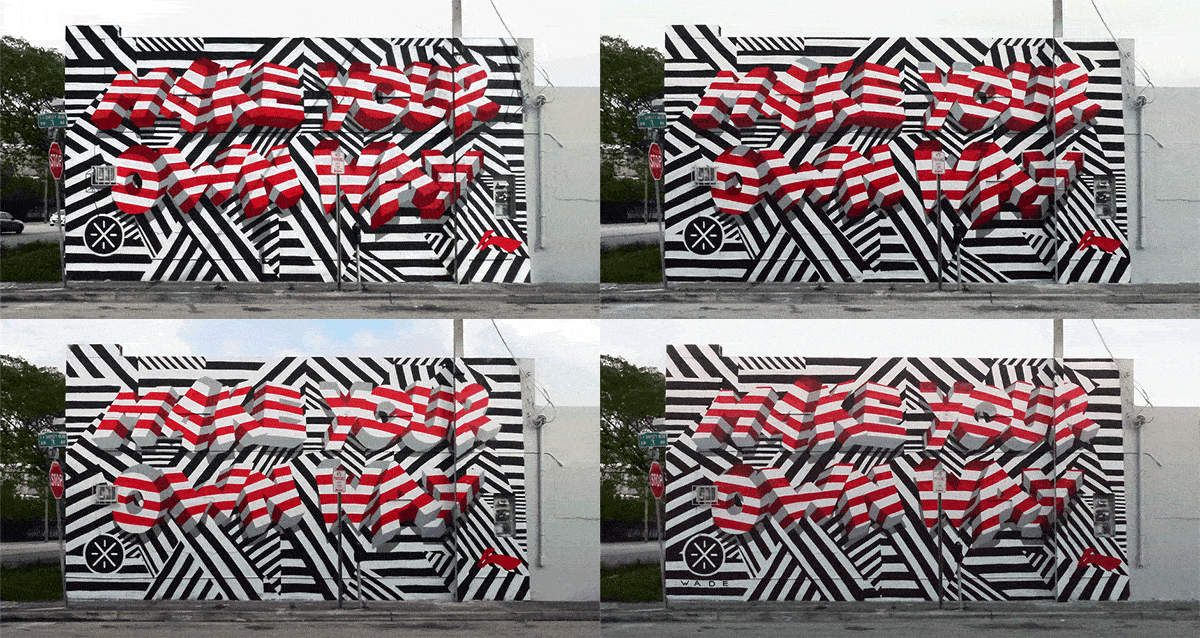
For visual culture, that mix produces a strong street-level identity. Walls, shopfronts, taxis, signage, and informal painted surfaces carry much of the country’s graphic character. In a place with a compact urban core and a clear river corridor, public-facing imagery tends to travel quickly and concentrate around busy roads, markets, and coastal districts.
How has The Gambia influenced art and public imagery?
The Gambia’s art scene is small but visible, especially in Banjul and Serekunda, where murals, signage, textiles, and market design meet everyday commerce. Street art often works on rough plaster, painted masonry, or corrugated metal, using bright acrylic colour and direct figurative imagery. Public art sits close to daily traffic rather than inside formal gallery systems.
That setting gives graphic work a social function. Painted walls can advertise a shop, mark a political message, celebrate local identity, or simply bring colour to an otherwise dusty street edge. Because the country is compact and urban networks are tight, styles and motifs circulate quickly between neighbourhoods and across the river towns.
What should be known about its place in West Africa?
The Gambia sits within a dense regional web of language, trade, migration, and transport. Senegal nearly encloses it, and that geography makes the border unusually important to movement and commerce. The country’s river route also connects coastal life to inland communities, so its identity is shaped as much by water and passage as by land territory.
In a publication about how things are made, The Gambia matters because place is legible in its materials: river mud, timber, painted walls, market structures, textiles, vehicles, and signwriting all reflect a small country with concentrated circulation. Its scale makes local form easy to read and hard to separate from the everyday life around it.
Frequently Asked Questions
Is The Gambia the same as Gambia?
Yes. “The Gambia” is the formal country name, while “Gambia” is often used as a shorter version in conversation and writing. The definite article is part of the official name because it refers to the river that defines the country.
What is The Gambia best known for?
The country is best known for its river geography, narrow shape, Atlantic coast, and role as a compact West African state. It is also known for its tourism along the coast, its markets, and its strong everyday visual culture, especially in urban and roadside settings. The Gambia River remains the most important geographic reference point.
What language and currency are used there?
English is the official language, reflecting the country’s colonial history, though several local languages are widely spoken. The currency is the Gambian dalasi. In daily life, multilingual signage and informal trade often sit side by side.
At a glance
- Address
- The Gambia
- Coordinates
- 13.5, -15.5
Articles mentioning The Gambia