
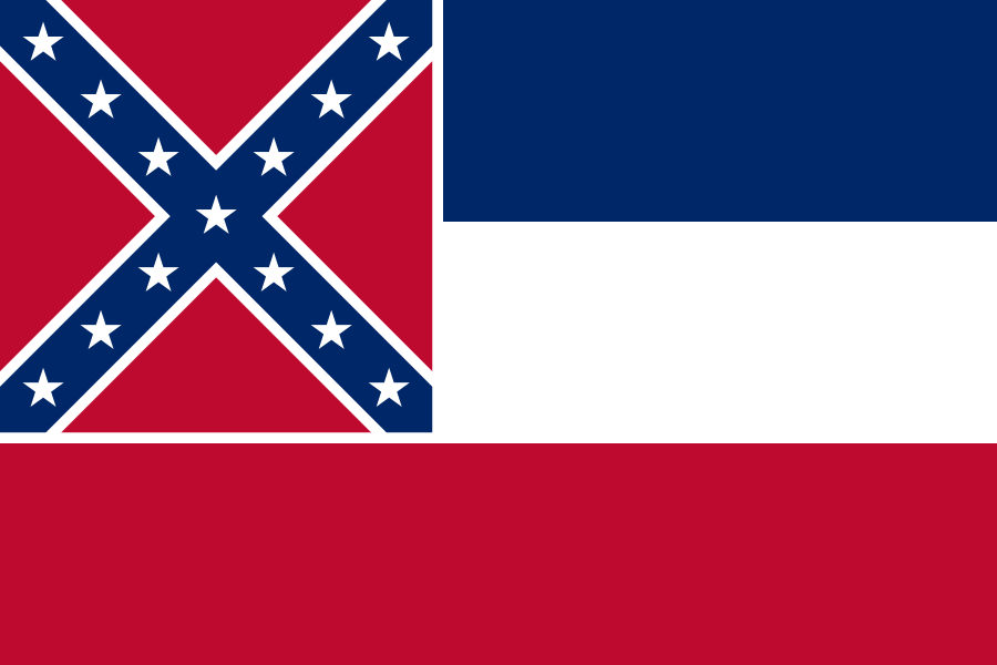
Mississippi is a U.S. state in the Southern United States, bordered by Tennessee, Alabama, Louisiana, Arkansas, and the Mississippi River. Jackson is the capital and largest city. The state takes its name from the river on its western edge, a word derived from the Ojibwe misi-ziibi, meaning “Great River.” Mississippi is known for its dense forests, its long association with cotton agriculture, and the cultural weight of the Mississippi Delta.
| Fact | Detail |
|---|---|
| Type | U.S. state |
| Capital | Jackson |
| Largest city | Jackson |
| Region | Southern United States |
| Name origin | Mississippi River; Ojibwe misi-ziibi (“Great River”) |
| Landscape | Forested uplands, river lowlands, Delta farmland |
Where Mississippi sits and what shapes it
Mississippi occupies a strategic strip of the American South, with the Mississippi River forming much of its western border. That river has shaped the state’s geography, transport, settlement patterns, and economy for centuries. The land away from the Delta is heavily wooded, with pine forests and mixed hardwood areas covering much of the state.
The Mississippi Delta, despite the name, is not the river’s mouth but a flat alluvial plain in the northwest of the state. It was cleared extensively in the 19th century for cotton cultivation, and that agricultural history still defines much of its visual and social landscape. Long rows of fields, levees, roads, and small towns remain part of the region’s built and made environment.
Why does the Mississippi Delta matter?
The Delta matters because it concentrates some of the state’s clearest historical contrasts: rich soil and exploitative plantation agriculture, rural poverty and strong cultural production, landscape engineering and environmental loss. Much of the region’s texture comes from how land was altered for cotton, first through clearing and drainage, later through mechanized farming and river control.
For designers, artists, and historians, the Delta is significant less as a single place than as a system of forms: straightened rows, open horizons, timbered houses, farm infrastructure, and towns built around extraction and transport. That made landscape has also fed music, literature, and political imagery far beyond the state itself.
What does Mississippi look like in practice?
Mississippi’s visual identity changes sharply from region to region. In the northwestern Delta, the land is flat and exposed, with large fields, narrow roads, and drainage channels. In central and southern Mississippi, more tree cover, smaller towns, and brick civic buildings create a different rhythm. Jackson, as the capital, adds the look of state government: courthouses, institutional architecture, and a denser urban fabric.
In public art and large-scale work, the state often appears as a site of civic address rather than a neutral backdrop. The landscape can support expansive murals, roadside installations, and environmental projects because of its scale and visibility. Its cultural power comes from this combination of openness, history, and a strong sense of place.
How the state’s history appears in material culture
Mississippi’s past is legible in the things that remain: plantation houses, cotton gins, timber structures, church architecture, and municipal buildings. Many of these objects and places reflect local materials and labor systems rather than imported style alone. Wood framing, brickwork, painted signage, and agricultural machinery all tell part of the story.
That material history is not confined to museums. It survives in roads, farm equipment, vernacular houses, and land patterns that still follow older divisions of property and production. Mississippi is therefore best understood as a place where geography, labor, and image are tightly bound together.
Frequently Asked Questions
Is Mississippi the same thing as the Mississippi River?
No. Mississippi is the name of a state, while the Mississippi River is a separate geographic feature that borders the state to the west. The state’s name comes from the river, which in turn takes its name from an Ojibwe word meaning “Great River.”
What is the Mississippi Delta?
The Mississippi Delta is a flat region in northwestern Mississippi, not the river’s mouth in Louisiana. It was transformed into cotton country through clearing, drainage, and intensive agriculture in the 19th century. Its flatness, fields, and agricultural infrastructure make it one of the state’s most distinctive landscapes.
Why does Mississippi matter in visual culture?
Mississippi matters because its landscape and history have produced a strong, recognizable set of visual forms. The state’s forests, Delta fields, river edges, and civic buildings all carry traces of agriculture, labor, and settlement. Those forms shape not only the way Mississippi looks, but also how artists and designers use it as a symbol of region, memory, and public space.
At a glance
- Address
- United States
- Coordinates
- 33, -90
Articles mentioning Mississippi


