
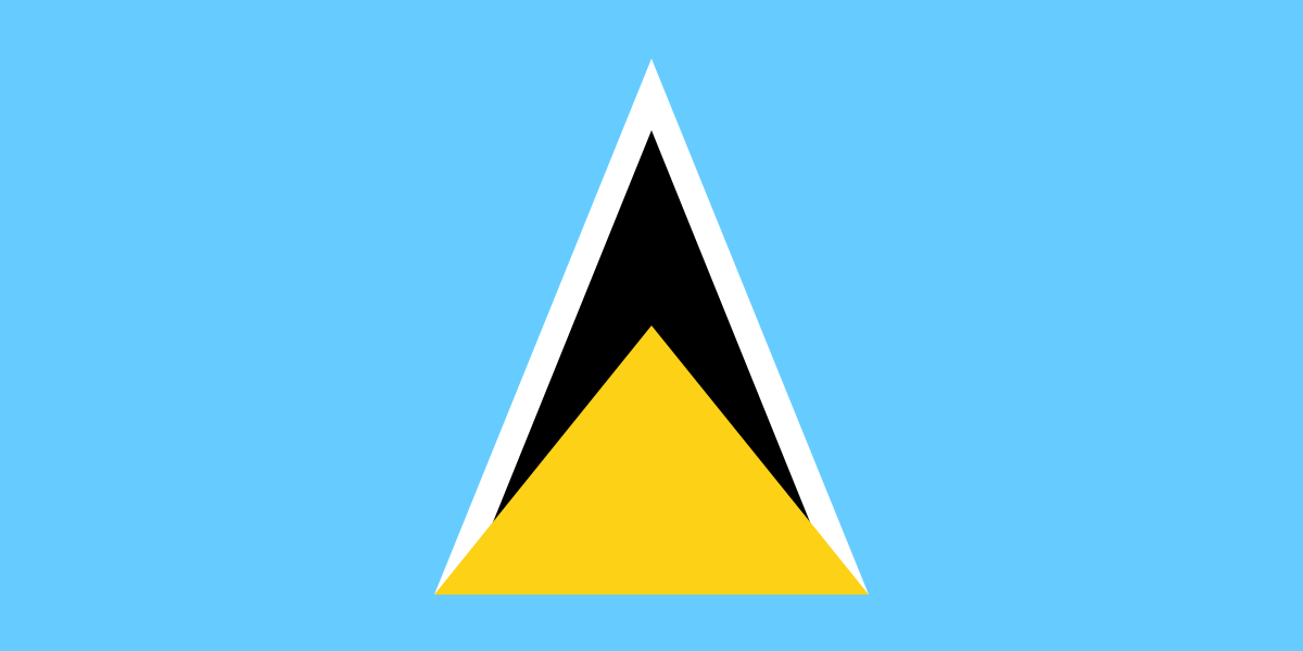
Saint Lucia is a sovereign island country in the eastern Caribbean Sea, on the boundary with the Atlantic Ocean. It sits in the Lesser Antilles, north of Saint Vincent, northwest of Barbados, and south of Martinique. The island covers 617 square kilometres and its capital is Castries. Saint Lucia is known for a landscape shaped by volcanic ridges, deep valleys, and sheltered coves that affect settlement, agriculture, and tourism.
| Category | Details |
|---|---|
| Type | Sovereign island country |
| Region | Eastern Caribbean Sea, Lesser Antilles |
| Capital | Castries |
| Area | 617 km² |
| Population | About 174,000 (2010) |
What gives Saint Lucia its shape?
Saint Lucia’s most distinctive feature is its topography. The island rises sharply from the coast into a central spine of hills and volcanic mountains, with the Pitons on the southwest coast serving as the best-known landmark. These steep slopes shape how roads are built, where towns grow, and how water moves across the island. Small bays and inlets break up the coastline, creating natural harbours and swimming spots.
The climate is tropical, with warm temperatures through the year and a wet season that supports dense vegetation. Rainforest, agricultural land, and coastal development sit close together, which gives the island a compact and varied visual character. That contrast matters in photography and travel writing because a short drive can move from beach to plantation land to forested hillside.
Why does Saint Lucia appear so often in travel and visual culture?
Saint Lucia is often presented through its landscape rather than through a single city or monument. Its scenery supports beaches, hot springs, reefs, and mountain views, so the island has become a familiar subject in resort photography, cruise itineraries, and destination branding. The island’s steep green interior and bright shoreline produce a strong visual identity that reads quickly in magazines and promotional material.
That visual appeal is tied to infrastructure and use. Many of the places most photographed in Saint Lucia are shaped by tourism services: waterfront hotels, marina areas, hillside villas, and public beaches adapted for swimming and boating. In practice, the island’s built environment often stays low-rise and spread out, leaving the terrain visible rather than covering it.
How is Saint Lucia made and used in everyday life?
Like many Caribbean islands, Saint Lucia combines a service economy with older agricultural patterns. Bananas were once central to export agriculture, and cultivation still shapes some rural landscapes, though tourism now plays a larger role. Markets, fishing villages, ferry landings, and small commercial streets remain important parts of daily life and give the island a mix of local and visitor-facing spaces.
Construction on the island responds to heat, rain, and slope. Buildings often use concrete block, ventilated openings, and wide overhangs to cope with tropical conditions. In coastal areas, materials and forms must also resist salt air and heavy weather, so practical design is closely linked to maintenance and climate.
Frequently Asked Questions
Is Saint Lucia a country or just an island?
Saint Lucia is both an island and a country. It is a sovereign state in the Caribbean with its own government, and the entire nation occupies the island itself. Castries serves as the capital and main administrative centre.
What is Saint Lucia best known for visually?
Saint Lucia is best known for its dramatic landscape, especially the twin Pitons, steep green hills, and sheltered blue-water bays. Those features make the island highly recognizable in travel imagery. The combination of volcanic terrain and coast gives it a strong profile in photographs and postcards.
Why is Saint Lucia mentioned in articles about pools and resorts?
Saint Lucia appears in resort and pool coverage because its landscape supports luxury hotels and scenic waterfront properties. Pools are often designed to frame views of the sea, hills, or Pitons, turning the setting into part of the architecture. In that context, the island matters as much for its terrain as for the buildings on it.
At a glance
- Address
- Saint Lucia
- Coordinates
- 14.016666, -60.983334
Articles mentioning Saint Lucia
