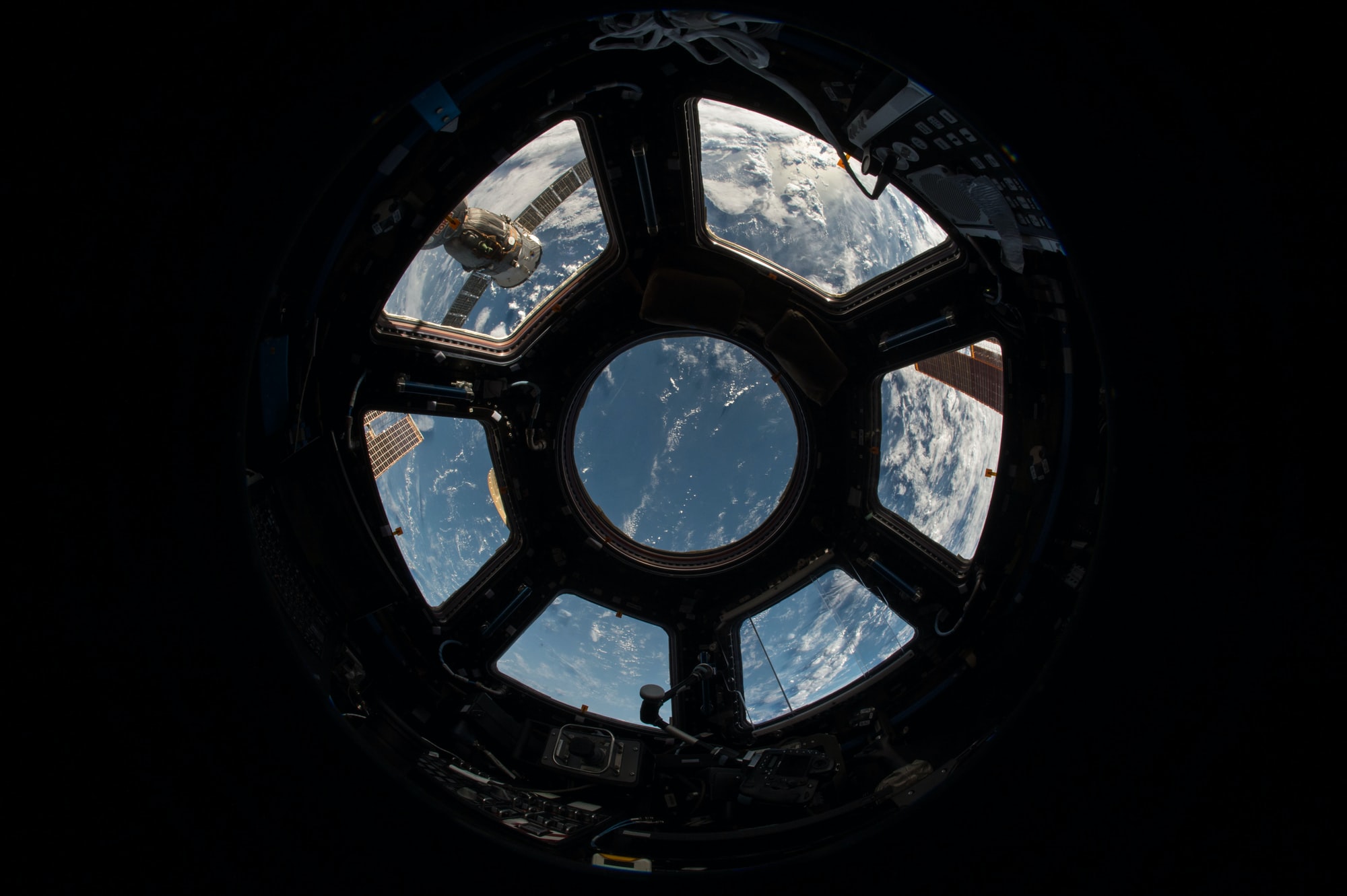
Data management systems are constantly evolving and opening up new opportunities for scientific purposes that will deepen knowledge in various fields. However, before taking full advantage of these possibilities, it is necessary to master the methods for manipulating information and checking data relationships. Earth Science Data Analytics requires the use of methods and the possession of specific skills that allow you to extract holistic data and knowledge from available sources, including heterogeneous data sets.
What is Space data?
Data collected by satellites is called space data or big data from space. These terms are also used to describe the process of obtaining data from cameras and sensors and identifying patterns based on the received information using specific software for space-driven analytics for scientific purposes. The private sector is actively investing in this area at the moment.
The emergence of private companies and technological advances have made it possible to ship space monitoring equipment to more than just governments. In the past, only government organizations could finance satellite launches, as they alone had the funds to do so. It is now much cheaper to deploy satellites. In this regard, it is expected that about 6200 small satellites will be launched in the coming decades, which will open up a massive world of data for humanity.
It is necessary to find ways to process them and remove valuable information adequately to take advantage of these data for a wide range of different industries and scientific goals. Geospatial analytics adds time and location to traditional data types. It also allows the creation of data visualizations, including maps, graphs, statistics, and cartograms that show historical changes and current shifts.

Application of geospatial data analytics for scientific and business purposes
The list of branches of science and business that use geospatial analytics includes:
- marine sciences
- tourism
- logistics
- demography
- meteorology
- healthcare
- forestry
- marketing
- Agriculture
- ecology
- transport
Geospatial analytics provides a wealth of mapping and monitoring capabilities. This can be used to assess the magnitude and impact of various natural disasters, including floods and forest fires. In addition, they can be used to evaluate the level of precipitation and monitor the condition of mountain slopes, dams, industrial sites, and property.
Due to climate change, the number of forest fires worldwide is increasing. The fires threaten both people and their property, and entire ecosystems. Regular monitoring and analytics make it possible to predict forest fires and timely detect fires. In addition, forest fire modeling provides risk indicators from fire-prone areas.
Geospatial analytics data is also used to predict weather and crops. Industrial facilities are subject to large-scale greenhouse gas emissions. However, experts can monitor and control emissions using geospatial technologies. Geospatial data analytics is also applied to detect leaks in the oil and gas industry and methane emissions.

The Importance of Science Outreach
Spatial thinking helps the population to realize and solve various severe problems on our planet. Therefore, it is so important to learn such thinking. Spatial thinking is more relevant today than ever due to many factors related to urban sprawl, the globalization of the economy, climate change, natural disasters, the development of sustainable agriculture, and so on. These factors are increasingly affecting our lives, so it is important to understand patterns and trends locally and globally.
EOS Data Analytics, a global provider of AI-based satellite imagery analytics, establishes its Academic Outreach Program. This program aims to support the aspirations of the academic community in search of solutions to the most pressing problems of humanity. It is designed to help implement research projects using geospatial data analysis tools.
The EOSDA Academic Outreach program is intended for a wide range of users, including scientists, students, researchers, GIS professionals, and environmentalists. Participants will have access to the company’s main products during the program – LandViewer, an online GIS assistant for searching and processing satellite images, and EOS Crop Monitoring, an online satellite platform for remote field management.
Participants will have the opportunity to optimize academic and scientific research processes using high-quality satellite data. Another valuable opportunity for program participants is the opportunity to promote their projects on EOSDA platforms, including online events and the company blog. Thus, EOSDA Academic Outreach provides valuable participation in solving the global issues humanity faces today.
