
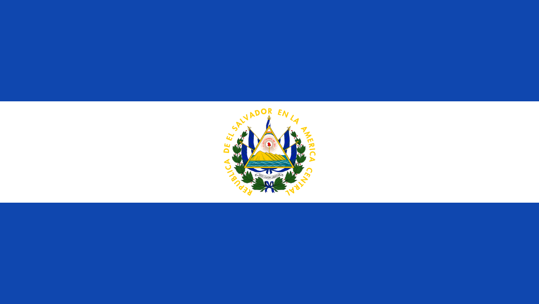
El Salvador is a Central American country on the Pacific coast, bordered by Guatemala and Honduras. It is the smallest country in the region by area and one of the most densely populated, with San Salvador as its capital and largest city. Its landscape compresses volcanoes, coffee-growing highlands, dry lowlands, and a long coastline into a compact territory, which helps explain why place, climate, agriculture, and urban life are tightly linked in Salvadoran culture.
- Smallest country in Central America, but densely populated and geographically varied.
- Capital and main urban center: San Salvador; other major cities include Santa Ana and San Miguel.
- Known for a Pacific coastline, volcanic terrain, and inland highlands used for coffee and settlement.
- Its compact size makes environmental pressures, urban growth, and land use highly visible and closely contested.
Where is El Salvador and what does it look like on the ground?
El Salvador sits on the narrow waist of Central America, with the Pacific Ocean to the south and Guatemala and Honduras on its land borders. The country has no Caribbean coast, so its geography opens toward the Pacific, where ports, fishing communities, and coastal development meet surf beaches and mangrove edges. Inland, a chain of volcanic highlands and fertile valleys creates abrupt changes in elevation over short distances.
That compressed geography shapes daily life. Towns, farms, roads, and forests sit close together, and the country’s size means that weather, water, and land use decisions carry across multiple sectors at once. In visual terms, El Salvador often appears as a place of sharp contrasts: dense urban neighborhoods, steep green slopes, black volcanic soil, and coastal plains under strong sun.
Why does El Salvador matter in architecture and visual culture?
El Salvador matters because its built environment has to respond to limited land, population density, seismic risk, and environmental stress. Architects and planners work with tight sites, steep terrain, and the need to preserve or frame remaining natural areas. That pressure is visible in housing projects, civic buildings, and landscape-led developments that treat vegetation, shade, airflow, and rainfall as design materials rather than background conditions.
The country also has a strong relationship between nature and identity in visual culture. Coffee cultivation, forest edges, volcanoes, and coastal ecologies recur in photography, tourism imagery, and contemporary design. When a project references Salvadoran landscape, it is usually engaging not just a view but a specific set of material realities: humid forests, volcanic rock, clay soils, and the urban expansion that often presses against them.
How has the country’s landscape shaped settlement and design?
Settlement in El Salvador has long concentrated in the central plateau and around cities such as San Salvador, Santa Ana, and San Miguel, where climate, commerce, and access to fertile land have favored growth. Many buildings and neighborhoods have had to adapt to slope, heat, and periodic earthquakes, which encourages low-rise density, reinforced construction, shaded courtyards, and careful site planning. In rural areas, coffee estates and agricultural land have also shaped the arrangement of roads, housing, and service buildings.
Recent design work often uses the landscape as a structural idea. Projects may encircle or preserve forest patches, lift buildings to reduce ground impact, or arrange volumes to capture breezes and views. This approach is especially visible in developments that sit at the edge of wooded land, where architecture must mediate between occupation and conservation rather than simply replace what was there.
What does El Salvador look like in practice today?
In practice, El Salvador presents a dense mix of city, infrastructure, and nature. San Salvador functions as the country’s political and commercial center, but important cultural and economic activity also appears in provincial cities. Markets, transport corridors, small industrial sites, and residential districts sit close to protected landscapes, making the boundaries between urban and rural more visible than in larger countries.
For photographers and designers, this makes the country legible through texture and edge conditions: forest against concrete, volcanic stone beside painted masonry, and new construction beside older neighborhoods. The most useful shorthand is not simply “small country,” but “compressed country” — a place where climate, topography, and human settlement constantly shape one another.
Frequently Asked Questions
Is El Salvador only significant as a geographic location?
No. Its geography is central, but the country also matters culturally, politically, and visually. The density of settlement and the pressure on land make it a revealing place to study architecture, ecology, and urban change.
Why is San Salvador mentioned so often in design writing?
San Salvador is the capital and the largest city, so it concentrates government, commerce, and much of the country’s professional design work. Many projects discussed in architecture and urbanism therefore take place there or reference its surrounding landscape.
What kinds of materials and environments are typical in El Salvador?
Concrete, masonry, volcanic stone, tropical vegetation, and coffee-growing landscapes are all common reference points. The country’s built environment often has to account for heat, rain, steep ground, and seismic conditions, so materials and form are closely tied to climate and geology.
At a glance
- Address
- El Salvador
- Coordinates
- 13.666667, -89.166664
Articles mentioning El Salvador

