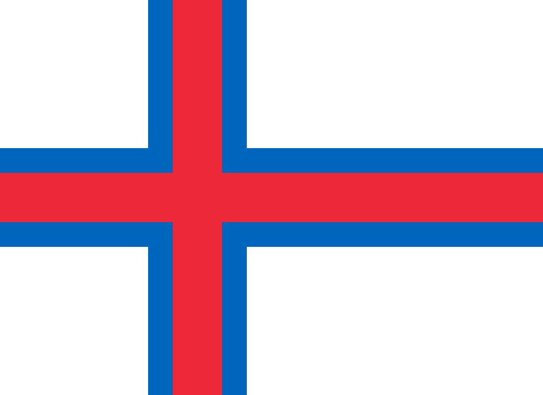
Faroe Islands

The Faroe Islands are a self-governing North Atlantic archipelago under the sovereignty of the Kingdom of Denmark. Made up of 18 volcanic islands between Iceland, Norway, and Scotland, they are known for steep cliffs, sheep-grazed slopes, fishing towns, and weather that changes by the hour.

  • Type: Self-governing archipelago within the Danish Realm
  • Location: North Atlantic Ocean, between Norway and Iceland
  • Capital: Tórshavn
  • Area: About 1,400 km²
  • Population: Roughly 50,000 people

Where are the Faroe Islands?

The Faroe Islands sit in a remote stretch of the North Atlantic, northwest of Scotland and roughly midway between Norway and Iceland. Their position matters as much as their scale: the islands are small, but they occupy a strategic and exposed maritime zone shaped by strong winds, heavy rain, fog, and long periods of changing light.

This geography has defined settlement, transport, and trade. The islands are connected by ferries, tunnels, causeways, and short flights rather than by a dense road network. Coastal villages cluster in sheltered inlets, while higher ground remains open, wet, and largely treeless.

How did they become self-governing?

The islands have been linked to Denmark for centuries, but modern Faroese self-government dates to 1948, when the islands became a self-governing country within the Danish Realm. That arrangement gave the Faroese control over most domestic affairs, including many areas of culture, education, and local administration.

The political status is important because it explains why the Faroe Islands are often described as both part of Denmark and distinct from it. The islands have their own parliament, the Løgting, and a strong local identity rooted in language, seafaring, and sheep farming rather than in any single national image imposed from outside.

What do the Faroe Islands look like in practice?

Physically, the Faroe Islands are dramatic and spare. Basalt cliffs rise sharply from the sea, turf-roofed houses sit low against the wind, and narrow roads thread through valleys and along fjords. The landscape is often green rather than barren, but it feels severe because of the weather and the scale of the rock formations.

In daily life, that landscape shapes material culture. Wool remains important, not as a nostalgic emblem but as a practical response to cold, damp conditions. Fishing also remains central, and harbor infrastructure, boat building, and seafood processing have long been part of the islands’ visual and economic identity. The built environment tends toward functional design: small settlements, weatherproof cladding, and structures sized for a harsh climate.

Why do the Faroe Islands matter culturally?

The islands have become an influential image of remote northern life: compact, rugged, and unpolished. Photographers and filmmakers are drawn to their cliffs, seabirds, grass-roofed buildings, and low cloud cover because the place offers strong shapes and a muted palette with little visual clutter. That makes the Faroe Islands useful in visual culture as a site where weather and landform are almost the main subjects.

They also matter as a reminder that “small place” does not mean simple place. The Faroese language, music, crafts, and local institutions give the islands a distinct cultural life, while the dependency on fisheries and marine transport ties that life closely to global systems. The result is a place that appears remote, but is not isolated from modern economics or design.

Frequently Asked Questions

Are the Faroe Islands part of Denmark?

Yes, but not in the same way as a Danish region. The Faroe Islands are a self-governing country within the Danish Realm, with responsibility for most domestic matters. Denmark still handles some constitutional and international responsibilities.

What is the climate like there?

The climate is cool, wet, windy, and highly changeable. Fog and rain are common, and strong Atlantic weather shapes both the landscape and everyday building methods. Temperatures stay relatively moderate because the islands sit in the path of the North Atlantic current.

Why are the Faroe Islands so often photographed?

They combine dramatic landforms with a restrained palette: dark basalt, bright grass, white surf, and low cloud. That contrast gives photographers a clear visual structure without much urban noise. The islands also read as remote and elemental, which makes them appealing in travel, landscape, and editorial photography.