
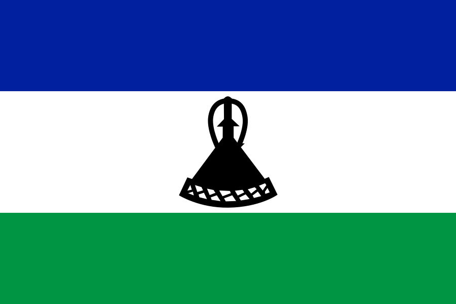
Lesotho is a landlocked kingdom in southern Africa, completely surrounded by South Africa. Its high mountain terrain, compact size, and strong Sesotho-speaking culture give it a distinct identity despite its small footprint on the map. The capital and largest city is Maseru, on the western border; elsewhere, settlement is spread through rural highlands where farming, herding, and migration to South Africa have shaped daily life for generations.
- A sovereign country and enclave, enclosed entirely by South Africa.
- Known for its elevation: much of the country sits high above sea level, with a cool climate and rugged mountain landscapes.
- Sesotho is the main language, and the country’s name refers to the “land of the people who speak Sesotho.”
- The economy has long depended on agriculture, remittances, and cross-border work, with poverty remaining widespread.
- Lesotho’s visual culture often centres on woollen blankets, hats, horse culture, and pastoral life in the mountains.
Where is Lesotho, and why is it separate from South Africa?
Lesotho sits inside South Africa’s borders, a rare political arrangement known as an enclave. It was once the Basotho kingdom, formed in the early nineteenth century under King Moshoeshoe I, who brought together communities facing conflict and pressure from Boer expansion. British colonial rule later turned the territory into Basutoland, and it became independent in 1966 as the Kingdom of Lesotho.
Its separation matters because geography has always defined the country’s politics and economy. Roads, trade, labour migration, and supplies all cross South African territory. That dependence has made Lesotho vulnerable to pressure from its larger neighbour, but it has also preserved a strong sense of national identity.
What does Lesotho look like on the ground?
Lesotho is not flat or desert-like, despite its small size. It is one of the highest countries in the world, with most of its land above 1,400 metres and some peaks rising much higher. The Maloti Mountains, deep valleys, and narrow passes shape transport, housing, and work. In winter, cold and snow can affect remote villages; in summer, rain feeds grazing land and small-scale farming.
This geography has direct visual consequences. Villages often cluster on ridges or in sheltered valleys, with round or rectangular dwellings built from stone, mud brick, and corrugated metal. In the highlands, Basotho blankets, conical hats, ponchos, and thick coats are not costume but practical clothing, adapted to wind and altitude.
Why does Lesotho matter in photography and visual culture?
Lesotho offers a strong visual grammar: herders on horseback, shepherds wrapped in blankets, cattle posts in open terrain, and long views across bare hills. These images are not just picturesque. They show a working landscape where livestock, especially sheep, goats, and cattle, remain central to status and survival. The country’s wool and mohair industries also connect material production to daily life, since shearing, sorting, and transport all sit within a rural economy.
Photographers are often drawn to the contrast between endurance and vulnerability. The highlands can seem timeless, but the country also faces unemployment, poverty, HIV/AIDS, and pressure from climate and migration. That tension gives images from Lesotho a particular force: they often show how people live with land that is beautiful, difficult, and inseparable from national identity.
How is Lesotho represented in practice?
In print and editorial photography, Lesotho is frequently shown through portraiture and landscape combined. A herder standing on a hillside, a child in school uniform, or a horseman moving through mist can carry more meaning than an urban skyline would. The visual field tends to emphasise distance, texture, and weather: wool, stone, dust, grass, and cloud.
Design and craft traditions also appear in the country’s built and wearable forms. Basotho blankets, with their bold patterns and deep cultural meaning, are among the best-known material symbols of Lesotho. They function as clothing, marker of status, and sign of national belonging, making the country legible through a single object as well as through its landscapes.
Frequently Asked Questions
Is Lesotho part of South Africa?
No. Lesotho is an independent sovereign state, even though South Africa completely surrounds it. It maintains its own government, borders, and membership in international organisations such as the Commonwealth. The enclosure creates close economic ties, but it does not make Lesotho a South African province.
Why is Lesotho so often photographed as a rural place?
Most people in Lesotho live outside large cities, and much of the country is mountainous or thinly settled. Herding, farming, and movement across open terrain remain central to everyday life, so photographers often work with those subjects. The result is a visual identity built around landscape, clothing, and labour rather than dense urban scenes.
What is the most recognisable material culture from Lesotho?
Basotho blankets are the most recognisable, followed by the conical Basotho hat and the horse gear used by highland riders. These objects are functional, not decorative in the first instance, but they have become strong symbols of the country. They show how material culture in Lesotho grows directly from climate, movement, and social custom.
At a glance
- Address
- Lesotho
- Coordinates
- -29.466667, 27.933332
Articles mentioning Lesotho
