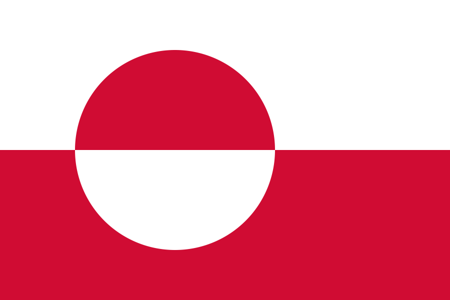
Greenland is an autonomous country within the Kingdom of Denmark, set between the Arctic and Atlantic Oceans and attached geologically to North America. It is the world’s largest island, but most of its land is locked under an ice sheet that shapes settlement, transport, building, and image-making. Greenland’s political status, Inuit cultural history, and stark polar terrain make it a place where design and survival are closely linked.
- Greenland is politically tied to Denmark but has its own elected government and wide self-rule.
- Most towns sit on the coast, because the interior is covered by an ice sheet that is difficult to cross.
- Its built environment relies on compact, insulated structures, prefabrication, and transport by sea, air, or snowmobile.
- Greenland has a strong visual identity in photography, film, and contemporary art because of its light, ice, and scale.
- Climate change is altering its glaciers, sea ice, and fishing conditions, making the island a focus of environmental attention.
Why Greenland looks so different from most places
Greenland’s physical form comes from its ice. Around 80 percent of the island is covered by the Greenland Ice Sheet, a vast body of compressed snow and ice that rises from the coast toward a high interior. That leaves only a narrow rim of habitable land along the fjords, where settlements cluster in small pockets connected by boat, helicopter, or seasonal ice routes rather than roads.
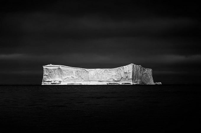
This geography makes Greenland visually immediate. Sharp mountains, blue-white icebergs, winter darkness, and long summer daylight produce images that have become familiar in photography and contemporary art. Makers working there often respond to extreme weather and changing light, using the landscape itself as both subject and material condition.
How did Greenland become politically tied to Denmark?
Greenland has been inhabited for thousands of years by Inuit cultures, with later Norse settlement beginning in the 10th century. Denmark-Norway established colonial control in the 18th century, and Greenland later became part of the Danish realm. In 1979 it gained home rule, and in 2009 a self-government act transferred further powers to the Greenlandic government, including control over many internal affairs.
Today Greenland remains within the Kingdom of Denmark, but it governs most domestic matters itself. Foreign policy, defence, and some financial arrangements still involve Copenhagen. The 2008 referendum marked a major step in this process, with strong support for greater autonomy and a clearer recognition of Greenlandic identity and political agency.
What does Greenland look like in practice?
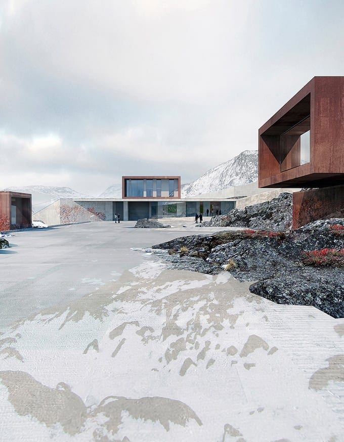
Life in Greenland is built around adaptation. Houses are often compact, elevated, and well insulated to manage permafrost, wind, and deep cold. Materials arrive by ship during the short ice-free season or by air, so construction tends to favor prefabricated elements, efficient logistics, and durable finishes that can handle harsh conditions. In towns such as Nuuk, Sisimiut, and Ilulissat, architecture balances practicality with colour and visual clarity, which helps buildings stand out against snow and rock.
Transport shapes everyday design as much as architecture does. Boats, sleds, aircraft, and all-terrain vehicles fill the gap where roads are absent. The result is a built environment that feels provisional in one sense, but highly refined in another: every object, route, and structure has to earn its place.
Why does Greenland matter to artists and designers?
Greenland has become a recurring subject in photography, film, and environmental art because it concentrates larger questions about climate, scale, and human presence. Icebergs calve, drift, and collapse in ways that make time visible. Snowfields and shadow create strong tonal contrasts, while the low sun can turn the landscape into an almost abstract arrangement of blues, whites, and black rock. That combination draws photographers who work with slow exposure, wide composition, and a careful sense of weather.
Designers and architects are interested for another reason: Greenland makes limits visible. Energy use, heating, shipping, waste, and construction all have to be reconsidered in extreme conditions. Projects there often treat resilience not as a slogan but as a technical problem, from insulation and prefabrication to prison design, housing, and life-supporting shelters for remote work.
Frequently Asked Questions
Is Greenland part of North America or Europe?
Geographically, Greenland sits on the North American tectonic plate and is usually counted as part of North America. Politically and historically, however, it has long been associated with Europe because of Danish rule and the wider history of North Atlantic contact. That split explains why Greenland often appears in discussions of both Arctic geography and European governance.
Why are there so few roads in Greenland?
Greenland’s settlements are separated by fjords, mountains, glaciers, and sea ice, which makes road building impractical over long distances. The frozen ground also complicates construction and maintenance. As a result, transport depends on boats, helicopters, planes, and snowmobiles rather than a connected highway system.
Why does Greenland appear so often in climate change coverage?
Greenland’s ice sheet is one of the largest on Earth, so changes there affect sea level and global climate systems. Melting ice, unstable glaciers, and shifting sea ice are easy to measure and highly visible, which makes the island a key site for climate research and public imagery. Its landscape turns abstract environmental change into something concrete and immediate.
At a glance
- Address
- Kingdom of Denmark
- Coordinates
- 64.166664, -40
Articles mentioning Greenland