
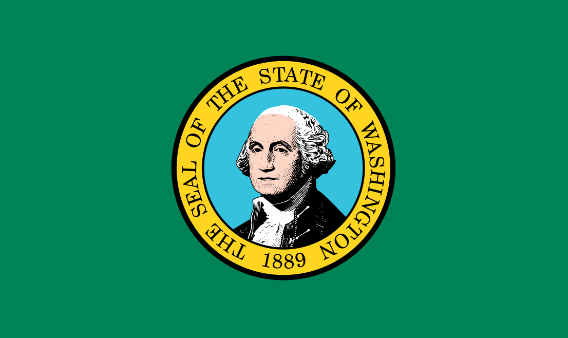
Washington is a U.S. state on the far northwestern edge of the country, bordered by Oregon to the south, Idaho to the east, British Columbia to the north, and the Pacific Ocean to the west. It is known for its wet coastal forests, volcanic mountain ranges, deep-water ports, and a design culture shaped by timber, maritime trade, aerospace, and digital industry. Named for George Washington, it became the 42nd state in 1889 after the Washington Territory was carved from land acquired from Britain in the Oregon Treaty of 1846.
- Part of the Pacific Northwest, with a climate that ranges from maritime rainforests to dry interior plains.
- Its economy and visual culture are closely tied to logging, shipping, aircraft production, software, and outdoor recreation.
- Seattle is its largest city and a major center for architecture, publishing, tech, and contemporary art.
- The state’s landscape includes the Cascade Range, Puget Sound, Mount Rainier, and the Olympic Peninsula.
- Washington’s name honors George Washington, not the U.S. capital, which is Washington, D.C.
Where is Washington, and what shaped it?
Washington sits at a geographic hinge between the Pacific Ocean and the interior of North America. The west side of the state is defined by saltwater inlets, ferry routes, evergreen forests, and a mild, rainy climate; the east side is drier, more agricultural, and shaped by river valleys and open plateaus. The Cascade Range cuts across the state and creates a sharp climatic divide that affects settlement, building types, and materials.
Modern Washington grew from the Oregon Country dispute between the United States and Britain. The 1846 Oregon Treaty fixed the border at the 49th parallel, and the area later became the Washington Territory. Statehood came in 1889, after mining, timber, rail transport, and port development had turned the region into a major economic corridor. That history still shows up in the built environment: heavy timber construction, warehouse districts, and infrastructure for freight and shipping remain central to how many Washington cities look and function.
Why does Washington matter in visual culture?
Washington matters because its landscape and industries have produced distinct visual problems for architects, photographers, and designers. Rain, slope, seismic risk, and dense evergreen cover push buildings toward deep overhangs, exposed structure, and careful handling of light. Timber is more than a scenic motif here; it is a working material that appears in houses, civic buildings, stadiums, and new mass-timber experiments. The state’s forests and mills also helped establish a long regional conversation about extraction, labor, and environmental cost.
Seattle, in particular, has become a reference point for contemporary design culture. The city’s growth alongside Microsoft, Amazon, the music industry, and a strong museum and gallery scene has produced demand for experimental architecture, product design, and exhibition spaces. Washington also has a strong documentary and landscape-photography tradition because its terrain offers a compressed range of visual conditions: mountains, water, industrial waterfronts, farmland, and urban glass towers often appear within a single frame.
What does Washington look like in practice?
In practice, Washington often looks like the meeting of nature and engineered systems. Ferries cross Puget Sound between Seattle, Bainbridge Island, and the Olympic Peninsula; bridges and seawalls shape the water’s edge; and campuses, museums, and houses frequently use cedar, Douglas fir, and other regional woods. In the eastern part of the state, the built environment shifts toward irrigation works, grain storage, and infrastructure for agriculture and transport.
Some of the strongest examples of Washington’s design identity come from architecture that uses the site itself as a material. Houses perched above the water, buildings that frame mountain views, and projects that let daylight filter through timber screens all reflect the state’s climate and topography. Even at a large scale, from stadiums to transit hubs, Washington design often emphasizes shelter, resilience, and an effort to make heavy structure feel open to landscape.
How did Seattle become so closely associated with Washington?
Seattle is the state’s largest city and its cultural center, so it often stands in for Washington as a whole. It developed as a port city tied to logging, shipbuilding, and rail commerce, then expanded through aerospace and technology. That economic shift brought money into downtown development, universities, design firms, and museums, which in turn made the city a strong setting for contemporary art, editorial photography, and architectural commissions.
Seattle’s urban form also reflects Washington’s conditions. Hills, shorelines, and seismic concerns have pushed engineers and architects toward complex foundations, retaining walls, and flexible structural systems. The city’s neighborhoods mix older brick and timber warehouses with glass towers and carefully detailed residential work, creating a visual field where industrial past and high-tech present sit close together.
Frequently Asked Questions
Is Washington a coastal state?
Yes. Washington has a long Pacific coastline, and much of its western identity comes from Puget Sound, the Olympic Peninsula, and port cities that face the ocean or inland saltwater. The coast is not just scenic; it has shaped trade, shipbuilding, fishing, and the state’s relationship to weather and materials.
Why is Washington associated with timber?
The state has extensive conifer forests, especially Douglas fir, western red cedar, and hemlock, which supported a large timber industry. That material history remains visible in houses, civic buildings, and newer mass-timber projects that use wood structurally rather than only as finish. Timber is both an economic foundation and a design language in Washington.
What is the difference between Washington and Washington, D.C.?
Washington is a state in the Pacific Northwest, while Washington, D.C. is the federal district on the East Coast that serves as the U.S. capital. The two places share a name but have different legal status, geography, and history. The state was named after George Washington; the district was also named in his honor.
Historical background
Before U.S. statehood, the region was home to many Indigenous nations whose territories, trade routes, and fishing grounds were disrupted by colonial settlement and treaty-making. After the Oregon Treaty, American and British claims were settled, but the land’s use continued to change rapidly through logging, rail expansion, and town building. Statehood formalized political control, yet the physical character of the place kept being shaped by extraction, transport, and the difficulty of building in a wet, seismically active landscape.
Today, Washington’s identity is a mix of those older resource economies and newer knowledge industries. That mix gives the state unusual visual range: rain-soaked forests, ports, campuses, startup headquarters, mountain parks, and working farmland all coexist within one political boundary. For designers and artists, that variety makes Washington more than a map location; it is a place where climate, material, and economy are visibly fused.