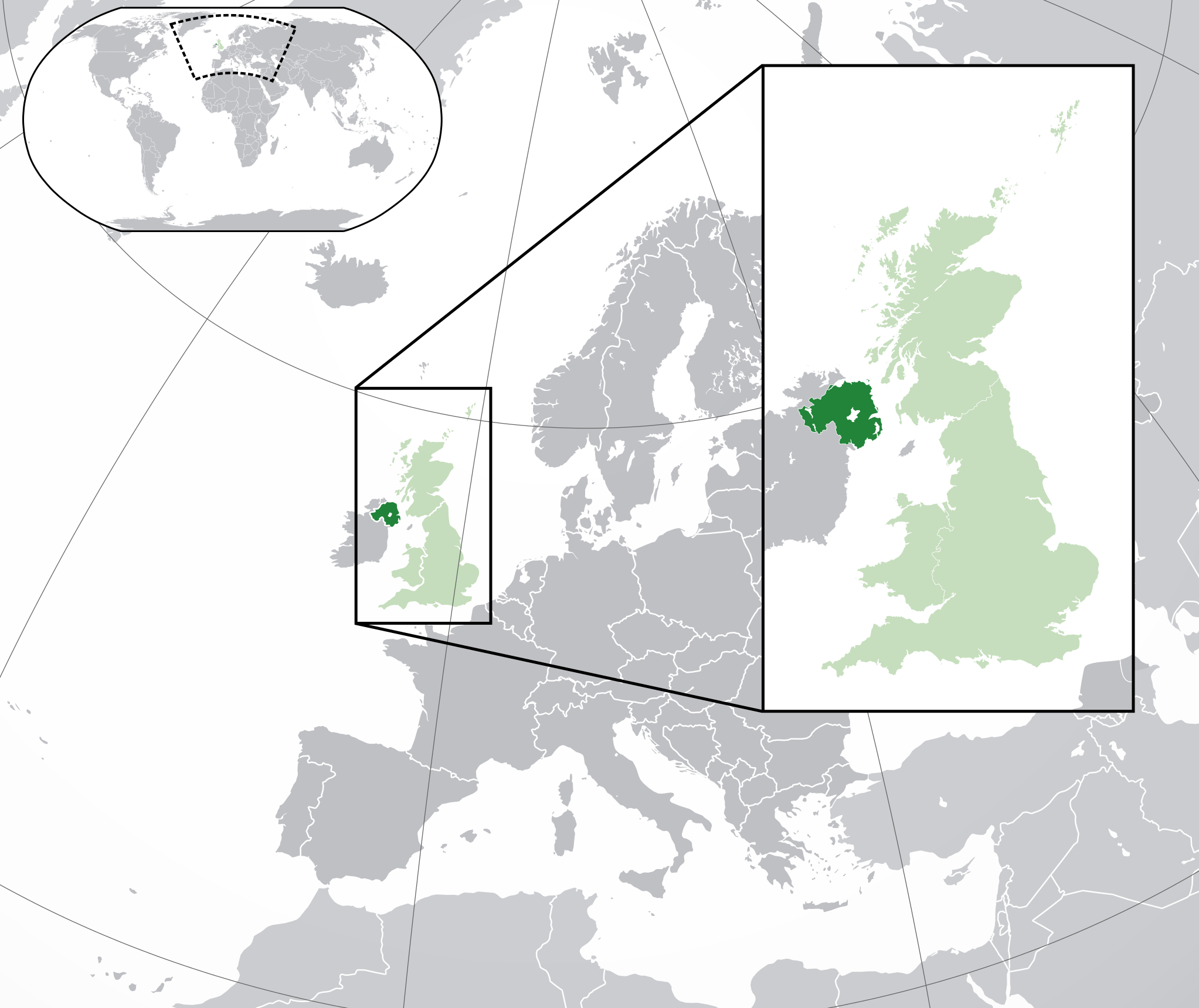
Northern Ireland is a part of the United Kingdom in the north-east of the island of Ireland. It is the smallest of the four UK constituent countries by area, and it shares a land border with the Republic of Ireland to the south and west. Its towns, coastlines, peatlands, and post-industrial landscapes have made it a recurring subject in photography, film, and travel writing, especially where built structures meet sharp natural scenery.
| Fact | Detail |
|---|---|
| Status | Constituent country of the United Kingdom |
| Location | North-east of the island of Ireland |
| Border | Shares a land border with the Republic of Ireland |
| Population | 1,810,863 at the 2011 census |
| Capital | Belfast |
What makes Northern Ireland distinct?
Northern Ireland has a political and cultural identity shaped by its position between Ireland and Great Britain. It is not a sovereign state, but one part of the UK with its own devolved institutions and a history that has made questions of identity, governance, and borders unusually visible. The region is often referred to as a country, province, or region, depending on context and political preference.
That ambiguity matters because place names here do more than locate a map. They signal history, allegiance, and administrative status. In writing about Northern Ireland, precision helps: Belfast is a city in Northern Ireland; Northern Ireland is part of the United Kingdom; the island of Ireland includes both Northern Ireland and the Republic of Ireland.
Why does it appear in visual culture?
Northern Ireland has a strong visual profile because its landscapes compress several kinds of image into short distances: steep coast, open water, bog, stone, and dense urban fabric. The Giant’s Causeway, the Causeway Coast, the Mourne Mountains, the Glens of Antrim, and the Fermanagh lakelands are all widely photographed because they combine scale, texture, and weathered surfaces that read clearly on the page and screen.
Its built environment has also drawn attention. Belfast, Derry, and smaller industrial towns offer red brick, dockland infrastructure, rail lines, bridges, and remnants of shipbuilding and manufacturing. That mix makes the place useful for articles about train journeys, surreal landscapes, and folklore, because it can support both documentary and highly composed imagery.
How is Northern Ireland seen on the page and on screen?
In practice, Northern Ireland often appears through contrast. A single frame may hold a tidy street, a collapsed stone wall, and a horizon of rain-heavy sky. The region’s light is frequently described as soft and changeable, which suits landscape photography, while its weather can add atmosphere without needing heavy manipulation.
Folklore and legend also attach easily to its terrain. Winding roads, isolated hills, coastal caves, and old estates are regularly used as settings for stories about giants, spirits, and other creatures. That is one reason the place turns up in articles about the uncanny as well as in more straightforward travel features.
What should be noted about its history and status?
Northern Ireland was created in 1921, after the partition of Ireland, and remained within the United Kingdom when most of the island became the Irish Free State, later the Republic of Ireland. Its modern history has been deeply shaped by sectarian division and the period of conflict known as the Troubles, which ran from the late 1960s until the Good Friday Agreement in 1998.
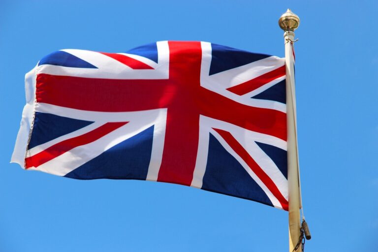
Those events matter for any serious reference to the place because they affect how communities, symbols, and borders are read. Even in cultural writing, references to murals, peace walls, flags, marches, or border crossings carry more weight than simple scenery. Northern Ireland is therefore not just a location; it is a place where landscape, architecture, and politics are tightly linked.
Frequently Asked Questions
Is Northern Ireland a country or a region?
It can be described in several ways, and the wording depends on legal, political, and editorial context. It is one of the four constituent countries of the United Kingdom, but it is also commonly called a region or province. For clear writing, the safest formulation is usually “part of the United Kingdom” or “constituent country of the UK.”
What is Northern Ireland best known for visually?
It is best known for dramatic coastline, green inland terrain, and strong contrasts between rural and urban settings. The Giant’s Causeway, Belfast’s industrial heritage, and the atmospheric roads and ruins used in film and photography are all part of that image. These features make it especially useful for visual stories that rely on texture, weather, and scale.
What cities or places are most associated with Northern Ireland?
Belfast is the capital and largest city, and Derry is the other major urban centre often named in cultural and historical writing. Outside the cities, the Causeway Coast, the Mournes, and the lakelands of Fermanagh are among the most recognisable places. Together they show why the region appears so often in work about travel, landscape, and folklore.
At a glance
- Address
- United Kingdom
- Coordinates
- 54.590935, -5.84
Articles mentioning Northern Ireland